A curve, an embankment and cleared plots
road works near Phase I
A single bend: how the road follows the ground, how the embankment is built, how far the clearing has gone.
Source: Aerial footage by Coastal City Development Group · shot 5 Aug 2026 · reposted by Tian Sisuo, sales director, Soksan Sakor Land Phase I
Aerial footage from Coastal City Development Group's files, shot on 5 Aug 2026, of road works near Soksan Sakor Land Phase I: a curving site road, stone and an embankment, cleared plots and working vehicles; in the second half the view opens out to the road network, plots and the works beyond. Silent, 22 s.
Chapters
tap a time to jump
- The curve and working vehicles
- Road network, plots and works beyond
Transcript
Silent aerial footage with no narration; the chapter notes below serve as the text of the film.
About the footage
- This is the group's official footage, shown as released; the name 七星海, logos and captions in it are part of the original.
- Real drone footage with no captions or overlays; buildings and roads are as they were on the day of the flight.
- These are roads under construction, not finished or accepted roads.
FAQ
Is Dara Sakor the same place as Qixinghai (七星海)?
Is Phase I built yet?
Can I see footage of one particular plot?
More videos
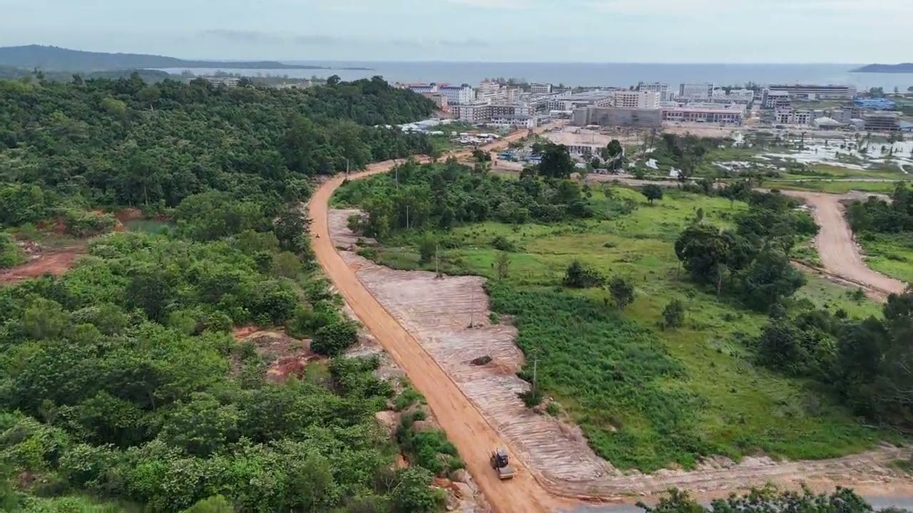
54 s of official aerial footage (5 Aug 2026): along a red-earth site road through the forest, past working vehicles, to levelled land and the coast.
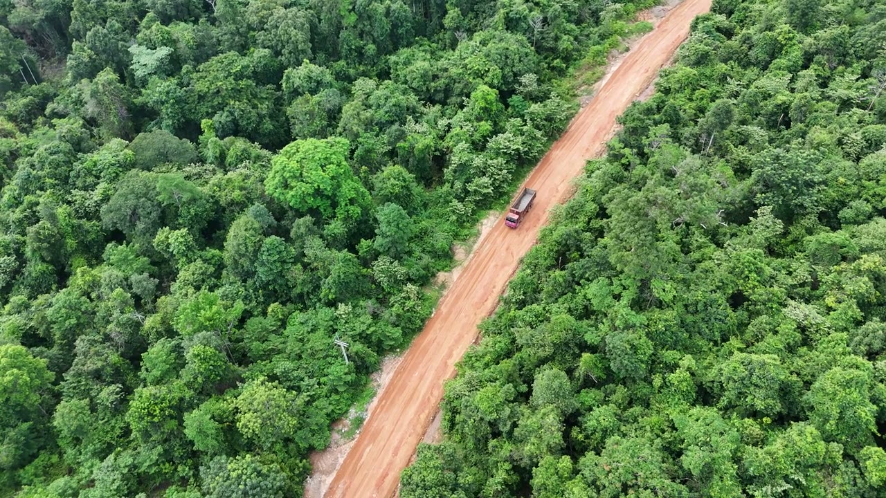
16 s of official aerial footage (5 Aug 2026): looking down on a red-earth site road through the forest, vehicles at work, sealed road at the far end.
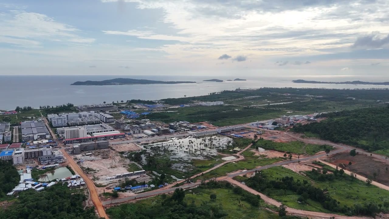
23 s of official aerial footage (5 Aug 2026): from tall and curved buildings and greenery, across the works and the main road, to the coast and islands.
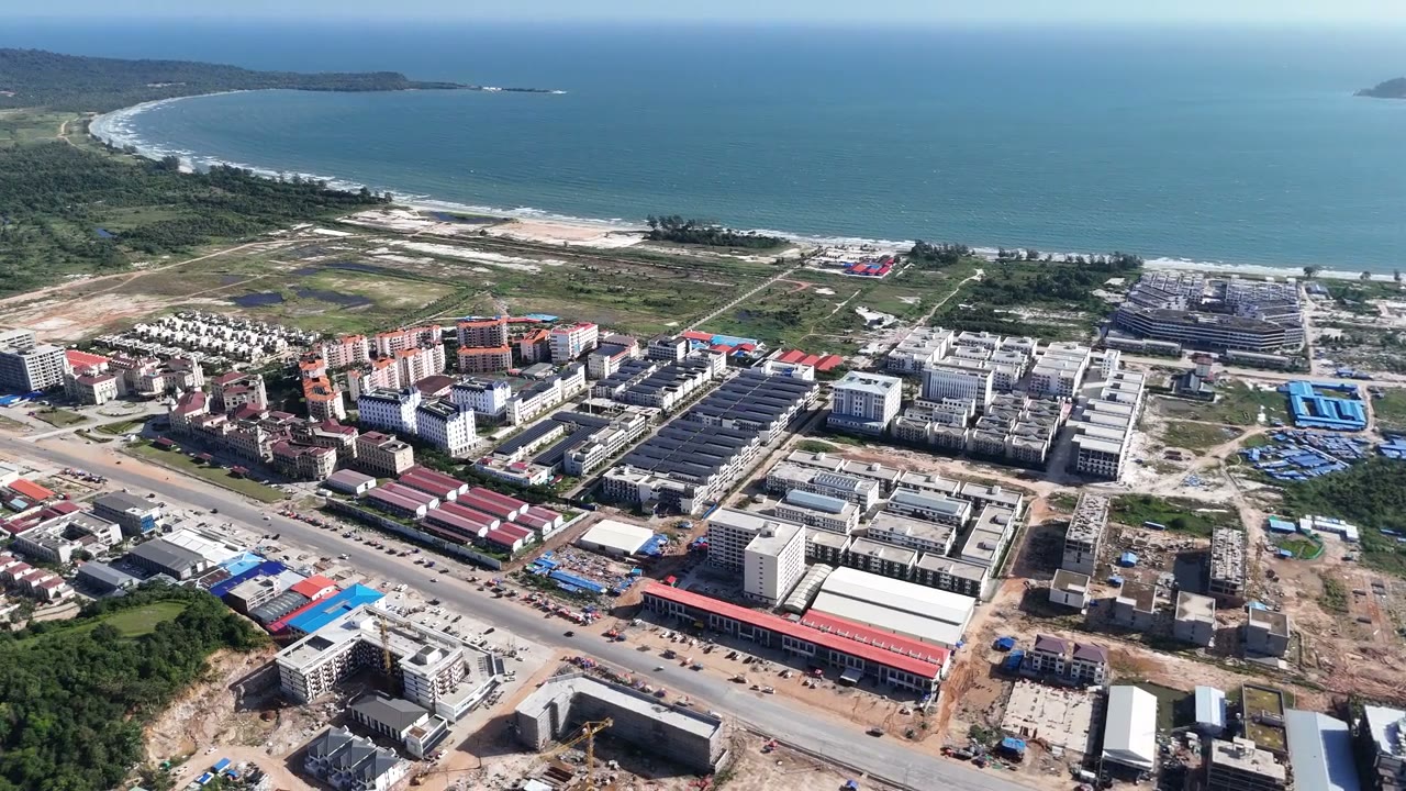
22 s of official aerial footage (12 Aug 2026): a turn above Phase I showing the built-up coast, forest roads, hills and sea.
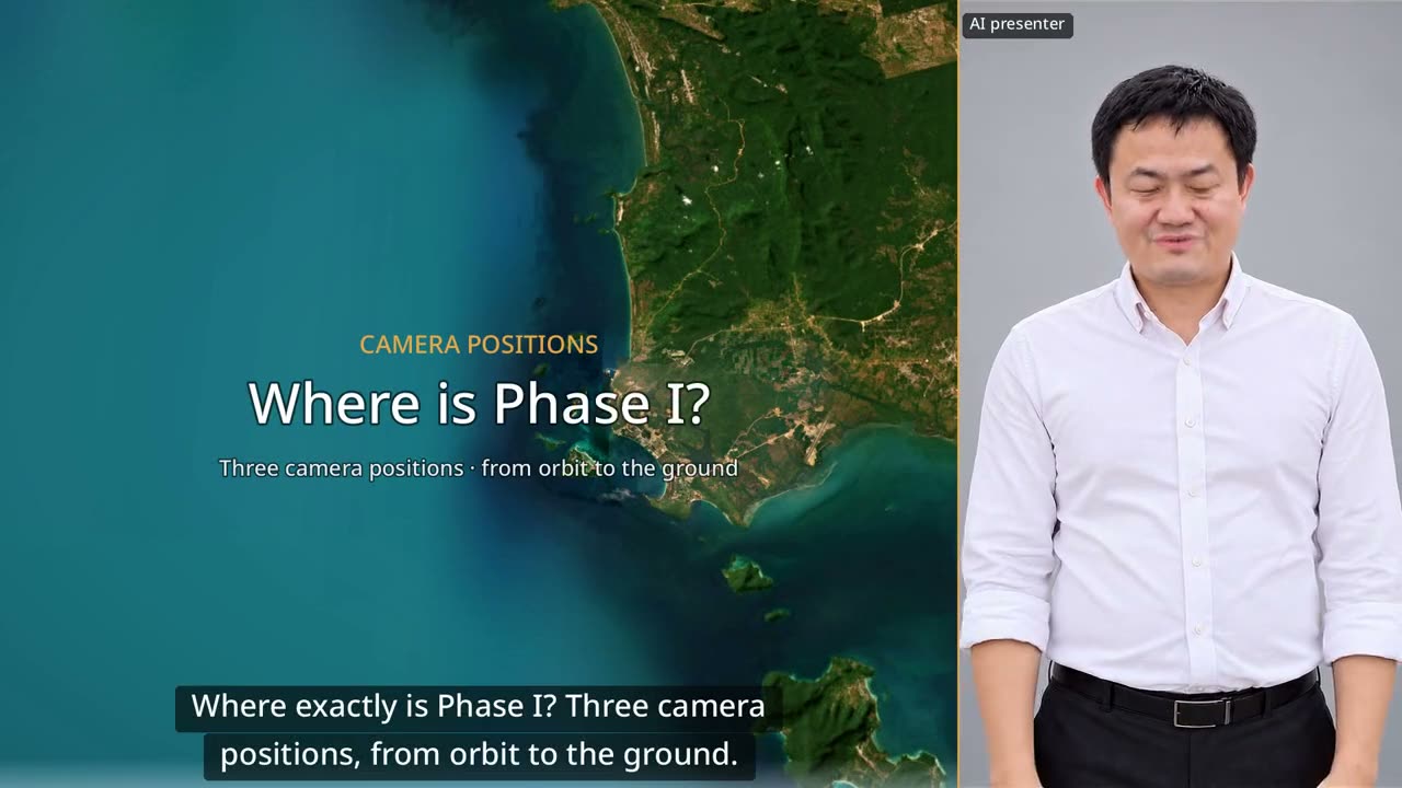
60 seconds: down from orbit to Dara Sakor, then three drone positions looking back at Phase I from the north, from the sea and from Say Phuthang Blvd. to the south.
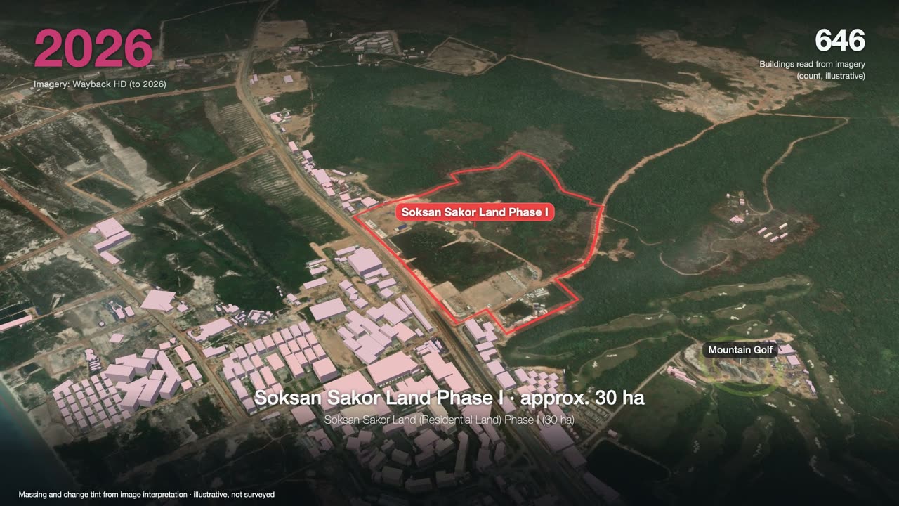
3 minutes: one satellite image a year, from forest to a port, an airport and two golf courses, ending on Phase I.
Want to see the land, or talk?
Sources: F-153. Prices and terms are governed by the formal sales contract; this page is not investment advice.