Dara Sakor project introduction
2008–2026, from no roads to a new city
This one is about the road so far: what has been built in Dara Sakor since 2008, and what it means to become.
Source: Official introduction film by Coastal City Development Group · original c. 2026 · reposted by Tian Sisuo, sales director, Soksan Sakor Land Phase I
A Coastal City Development Group introduction to Dara Sakor, 2 min 43 s, Mandarin narration with Chinese and English captions: it starts in 2008, 3,500 km from China, shows the early work "from no roads to thoroughfares, from no power to light", the port and the airport, gives the 90 km of coastline and some 360 km² of land and the location in South-East Asia, sets out the plans for industry and coastal tourism, and ends with photographs of eighteen years of signings and events.
What the footage shows
The film begins with the globe and where Dara Sakor sits. From 0:18 a timeline runs from 2008 to 2026, pointing from Tianjin to Cambodia; from 0:36 come early land and road works, then cargo ships at the port from 0:54 and the airport terminal from 1:00. From 1:10 the captions set 90 km of coastline beside 360 km², followed by a map of South-East Asia. Between 1:40 and 2:04 some shots are illustrative, not live footage.
This is official footage from Coastal City Development Group, shown as released; the captions and marks in it are the original's own. If you first want to know who is behind this land, what has been built and where it sits, start here. The industry plans in it are the group's own wording, and the actual build governs. For Phase I itself, see Phase I land prices.
Chapters
tap a time to jump
- Opening: the globe, where Dara Sakor is
- The Pilot Zone: satellite view and coast
- 2008–2026: from Tianjin to Dara Sakor
- Across borders: a map of South-East Asia
- From no roads: early land and road works
- Port and cargo ships
- Airport terminal
- From coastal zone to Pilot Zone
- 90 km of coast, 360 km²
- Location: the middle of South-East Asia
- Industry plans (stock images)
- Ecology first, industry as wings
- A national strategic project: signings and events
- Sailing club and airport
- Eighteen years
- End: an international coastal city
Transcript
Mandarin narration with Chinese and English captions; translated below, following the film's English captions.
Cambodia-China Comprehensive Investment and Development Pilot Zone — Dara Sakor.
From 2008 to 2026, over 18 years, spanning 3,500 kilometres from China to Cambodia: across borders to pursue dreams, building a new city amid mountains and seas.
From no roads to thoroughfares, from no power to light, from remote access to rise, we lay the foundation of a city of the future with hard work.
Over a decade of continuous effort and steady progress: from a coastal special zone to the Cambodia-China Comprehensive Investment and Development Pilot Zone, a flagship of the Belt and Road.
Dara Sakor is in Koh Kong Province, Cambodia, with a 90-kilometre golden coastline and some 360 square kilometres of land — half of Cambodia's best coastline.
At the geographical centre of South-East Asia, with sea, land and air links across the whole area, it is Cambodia's coastal gateway to the world.
Building a new industrial hub in South-East Asia, joining up construction, production, operation and import-export, to support industries going abroad.
Grounded in ecology and driven by industry, it brings together coastal tourism, airport logistics, modern manufacturing, international education and a smart city.
As a national strategic project of Cambodia, Dara Sakor drives the rise of the coastal economy, strengthens China–Cambodia friendship and serves ASEAN integration.
Eighteen years of unwavering commitment, forging ahead into a new era.
Dara Sakor, an emerging international coastal city in the Kingdom of Cambodia, is embracing the times and shining across ASEAN.
About the footage
- This is the group's official footage, shown as released; the name 七星海, logos and captions in it are part of the original.
- The globe, maps and Silk Road graphics, and some of the port, factory, trading-screen and skyline shots between 1:40 and 2:04, are stock or illustrative images, not footage of Dara Sakor.
- The plans for industry and the city are the group's stated direction; the actual build governs. Soksan Sakor Land Phase I is about 30 hectares of coastal residential land within it.
FAQ
Is Dara Sakor the same place as Qixinghai (七星海)?
What is the "Pilot Zone" in the film?
Is Soksan Sakor Land Phase I in this film?
Who made this, and can I share it?
More videos
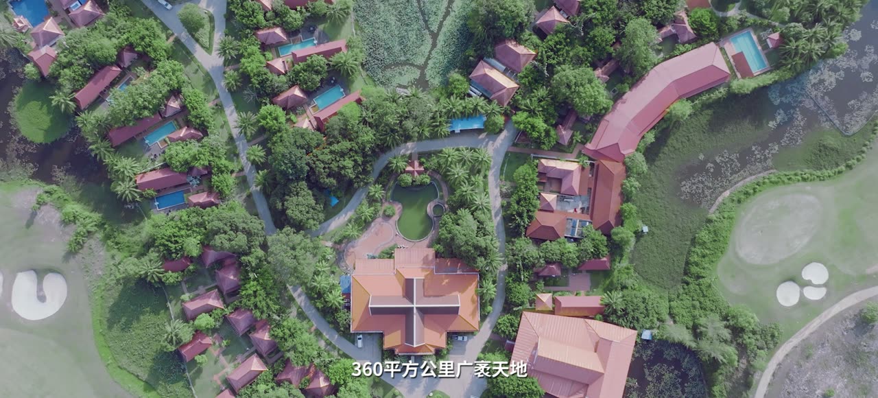
A 3 min 46 s official image film with Mandarin narration: 90 km of coast, mangroves, the port and airport, 88 Beach, the air-dome hall, golf and the beach festival.
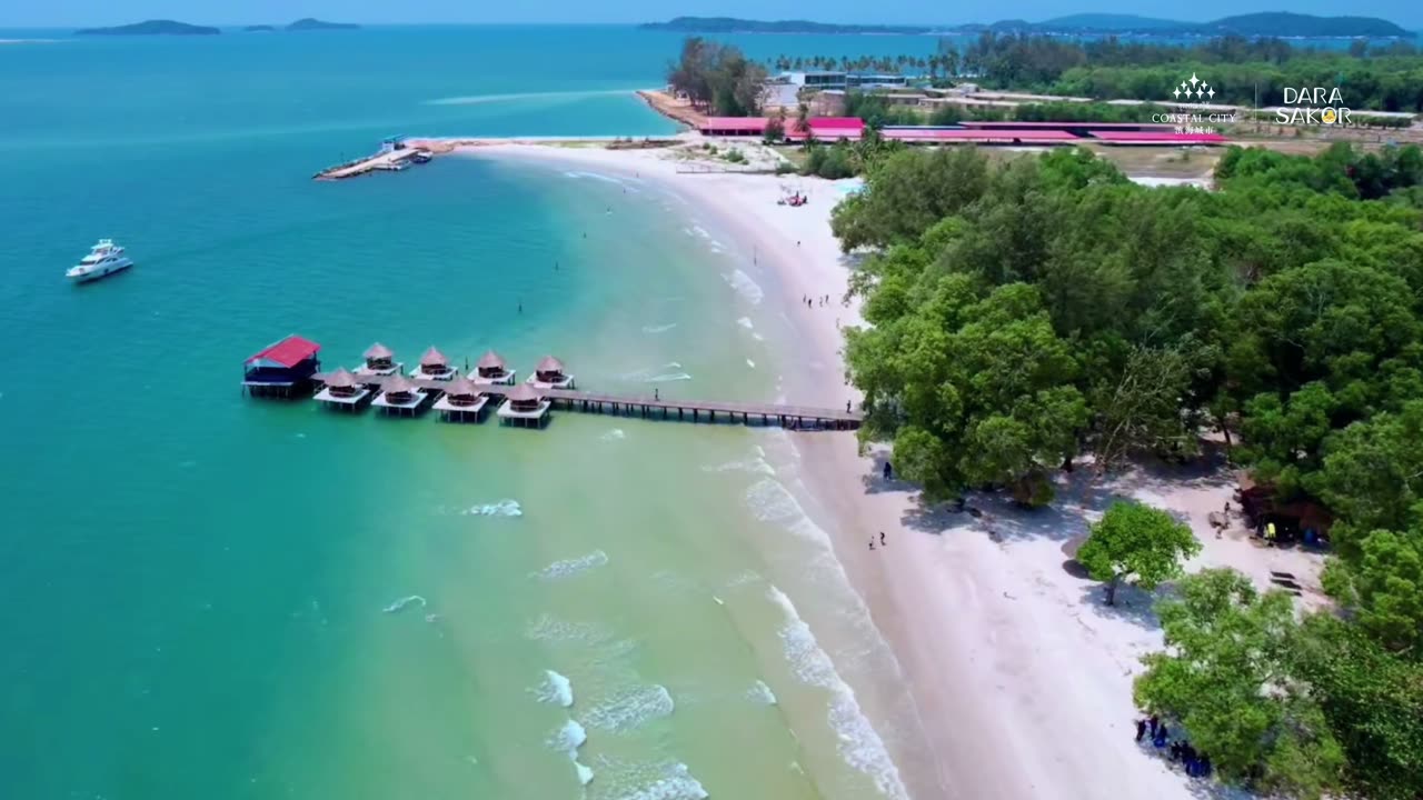
An 86-second official film: the pier and its huts, the golf course and the airport runway, then a Top 7 of nature — clear water, white sand, reefs, mangroves and a national forest park.
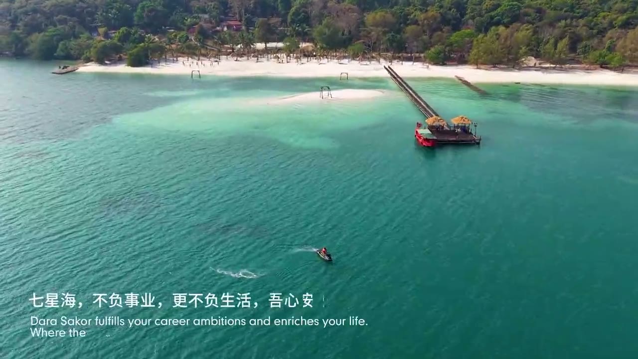
A 2-minute official film: landing, beach camps, night markets, a family by the sea at dusk. Chinese and English captions.
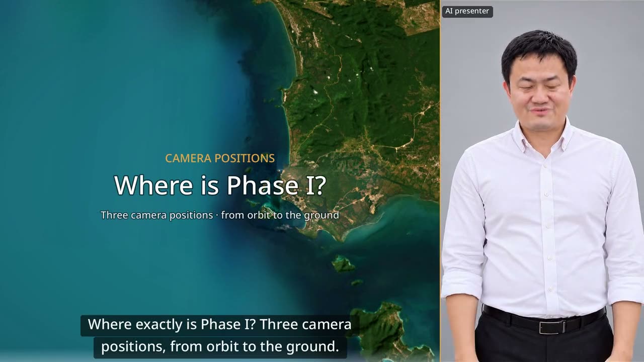
60 seconds: down from orbit to Dara Sakor, then three drone positions looking back at Phase I from the north, from the sea and from Say Phuthang Blvd. to the south.
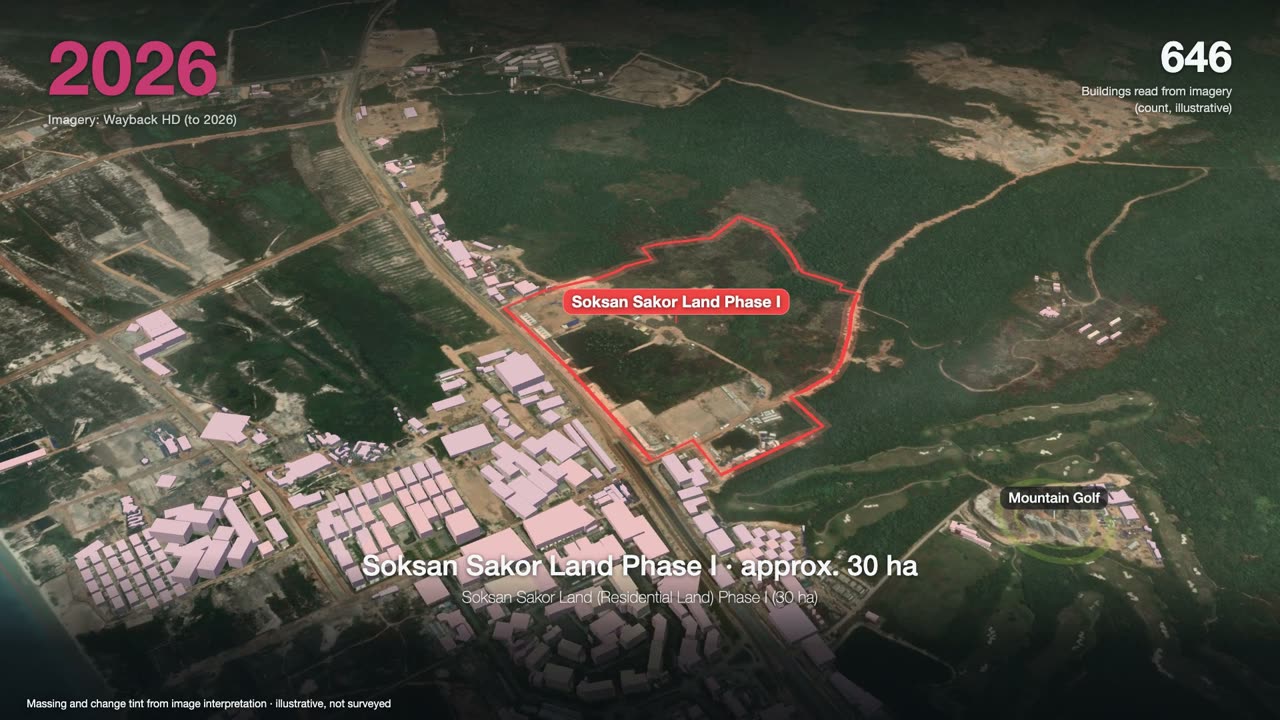
3 minutes: one satellite image a year, from forest to a port, an airport and two golf courses, ending on Phase I.
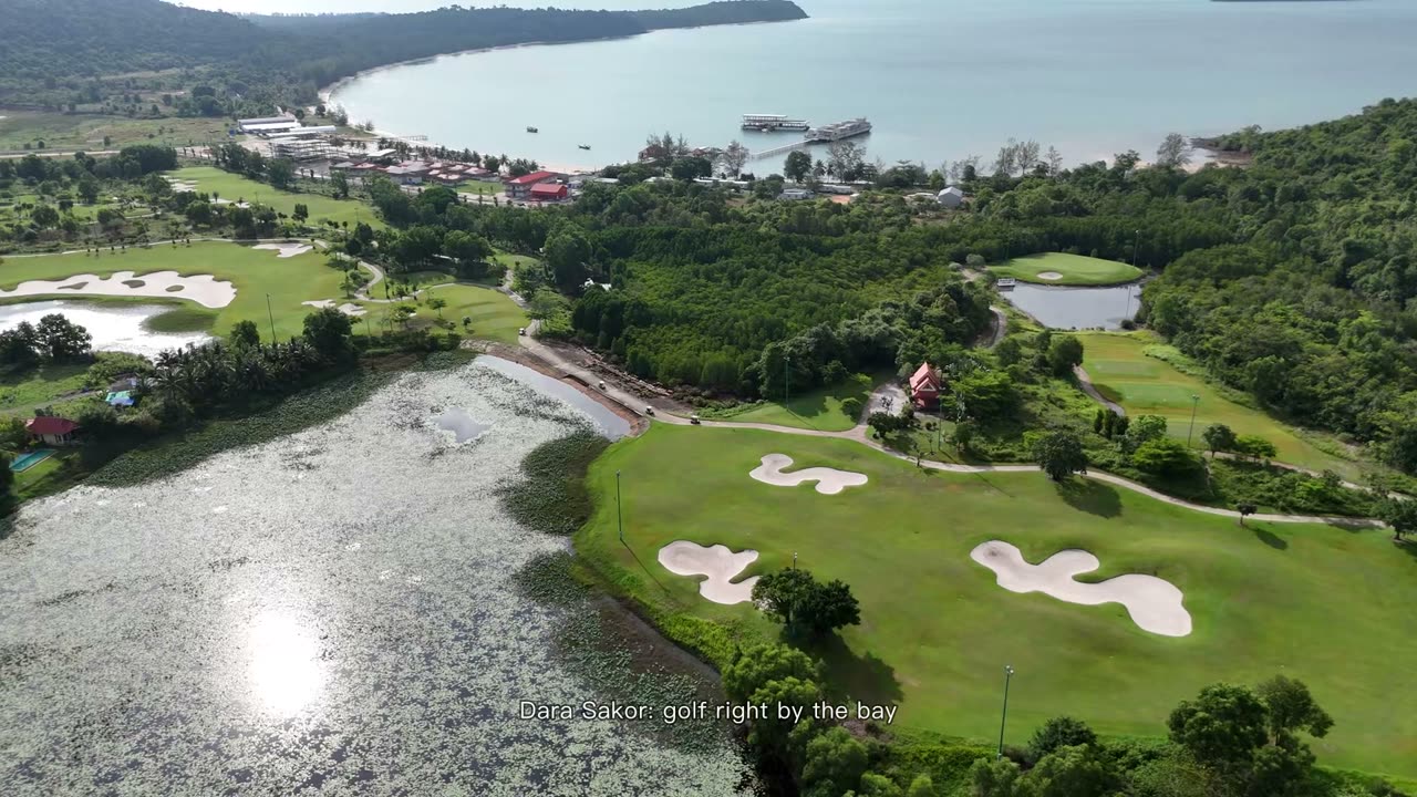
90 seconds: Dara Sakor Coastal Golf Course by the bay and the Mountain Golf Course, 18 holes each, all real footage.
Want to see the land, or talk?
Sources: F-004, F-010, F-013, F-153. Prices and terms are governed by the formal sales contract; this page is not investment advice.