Dara Sakor's coast in 2021
a one-minute aerial (archive)
This is how it looked a few years ago: mostly forest along the shore, with a few buildings and roads.
Source: Archive footage from Coastal City Development Group's official files · c. 2021 (no production credit) · reposted by Tian Sisuo, sales director, Soksan Sakor Land Phase I
An aerial film of Dara Sakor's coast from around 2021, kept in Coastal City Development Group's official files, 1 min 1 s: buildings, a pier and a white beach, then a long flight along the wooded coastline, a road through the forest, the bay and the hills, and rows of palms on the sand from above. Music, with captions at the start and end. It shows the coast as it was then, not as it is today.
Chapters
tap a time to jump
- Buildings, pier and white beach
- The bay and distant hills
- Wooded coastline
- Back to the buildings by the sea
- Forest road and coast
- Across the bay
- Palms on the sand from above
Transcript
Music only, no narration. The opening caption reads (in traditional Chinese) "Love me, don't go / glass-clear water, powder-white sand / Qixinghai and Star-Moon Lake in full view", and the closing one "Thank you for coming to see"; otherwise the chapter notes below serve as the text of the film.
About the footage
- This is the group's official footage, shown as released; the name 七星海, logos and captions in it are part of the original.
- This is archive footage from around 2021 (the file in the group's archive is dated July 2021). It shows the coast and the building work as they were then, not as they are today.
- The original carries no production credit; the traditional-Chinese captions are part of it. The source is only 640×368 and is shown at that resolution, not upscaled.
- The buildings and roads shown are in Dara Sakor, outside the Soksan Sakor Land Phase I boundary.
FAQ
Is Dara Sakor the same place as Qixinghai (七星海)?
Is this what Dara Sakor looks like now?
Who made this, and can I share it?
More videos
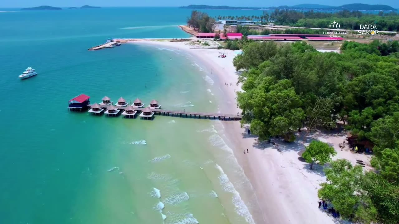
An 86-second official film: the pier and its huts, the golf course and the airport runway, then a Top 7 of nature — clear water, white sand, reefs, mangroves and a national forest park.
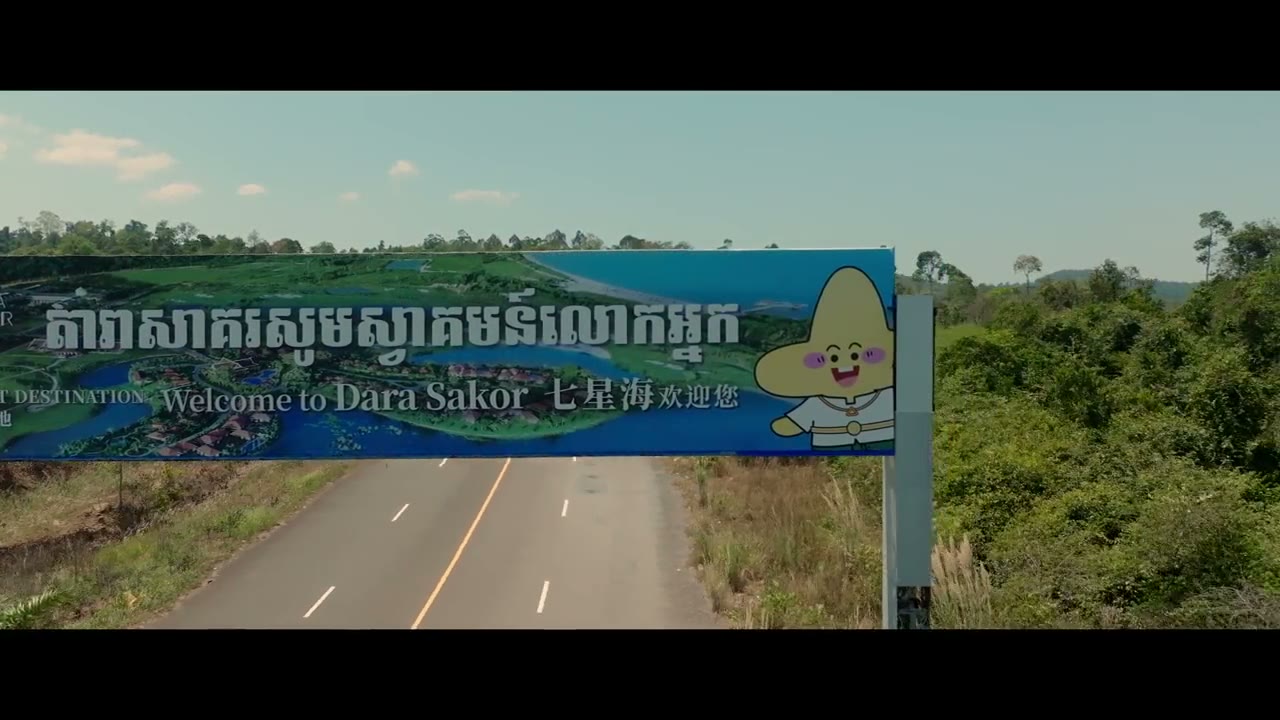
A 4 min 38 s official travel film: the welcome arch, bay aerials, speedboats in the mangroves, island sunsets, beach camps and a festival.
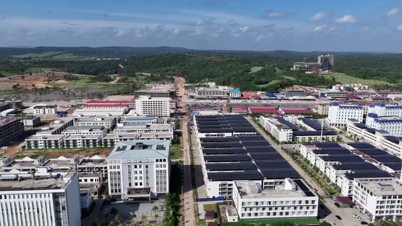
38 s of official aerial footage (12 Aug 2026): moving inland from the sea over factories with solar roofs, blocks and the forested hills beyond.
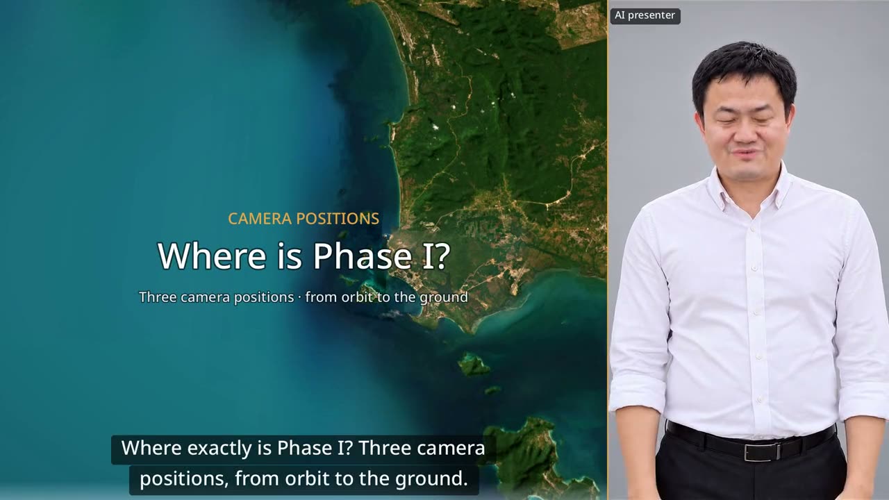
60 seconds: down from orbit to Dara Sakor, then three drone positions looking back at Phase I from the north, from the sea and from Say Phuthang Blvd. to the south.
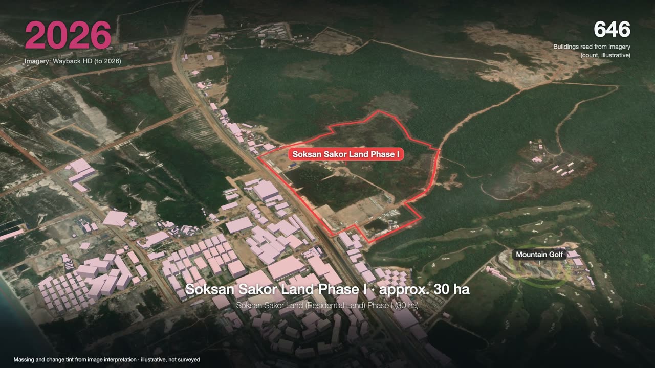
3 minutes: one satellite image a year, from forest to a port, an airport and two golf courses, ending on Phase I.
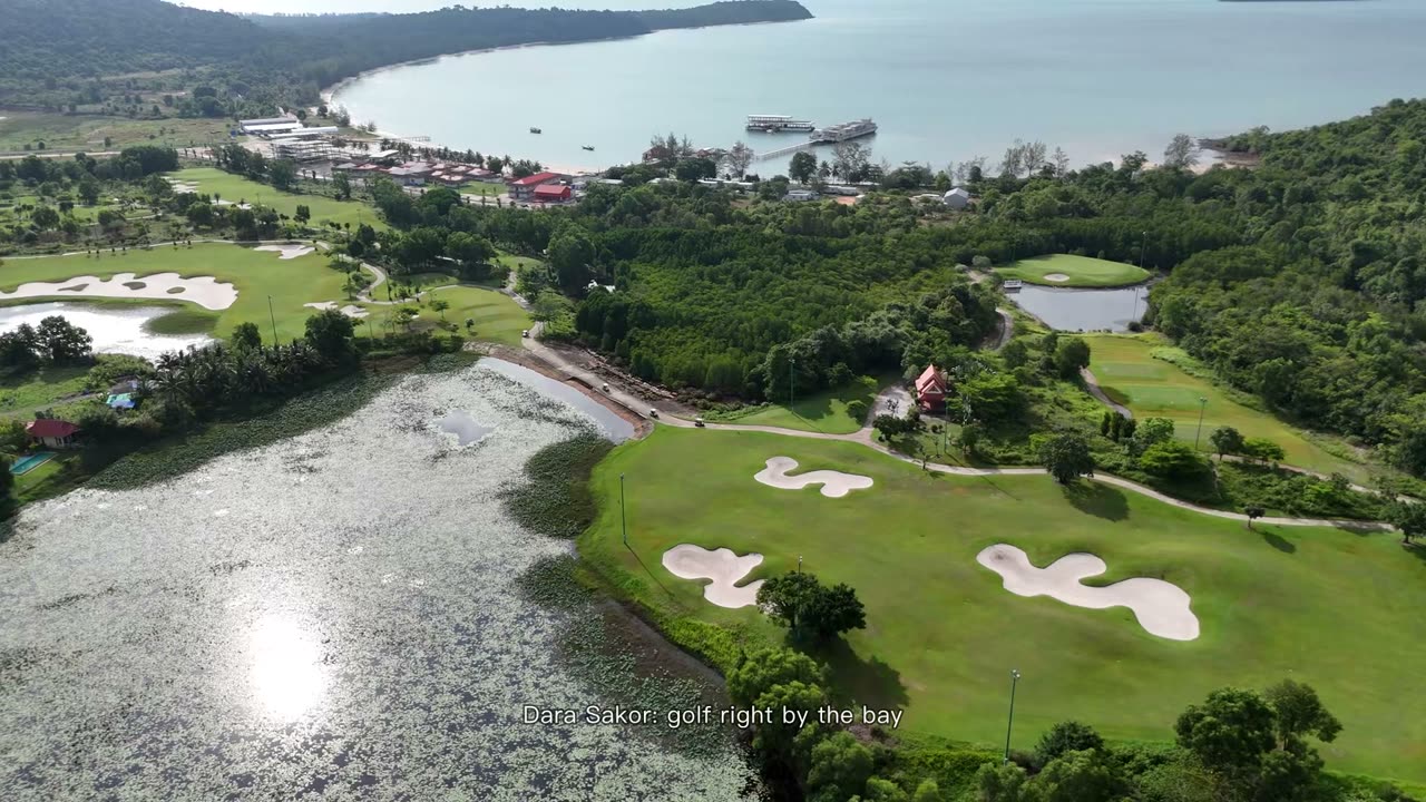
90 seconds: Dara Sakor Coastal Golf Course by the bay and the Mountain Golf Course, 18 holes each, all real footage.
Want to see the land, or talk?
Sources: F-153. Prices and terms are governed by the formal sales contract; this page is not investment advice.